SMART
(Spatial Monitoring and Reporting Tool)
SMART is a conservation software tool designed to help manage and monitor protected areas and wildlife. SMART uses technology, including mobile devices and GPS, to provide a systematic and standardized approach to data collection, analysis, and reporting for conservation efforts.
Key features of SMART conservation monitoring include:
- Allowing ranger and scout teams to plan patrols to monitor and protect wildlife and ecosystems.
- Facilitating the collection of data types, including wildlife sightings, signs of illegal activities, and habitat conditions.
- Supporting efforts to combat illegal activities, such as poaching and habitat destruction, by monitoring and enabling quick responses to incidents.
- Providing real-time reporting capabilities, allowing conservation teams to make informed decisions based on up-to-date information.
- Analyzing data and projecting trends and patterns over time.
- Assisting in the allocation of resources, such as patrol teams and equipment, based on identified threats and priorities.
- Integrating with Geographic Information Systems (GIS) to map and analyze spatial data related to conservation activities.
- Enhancing the skills of conservation staff in data collection and team management.
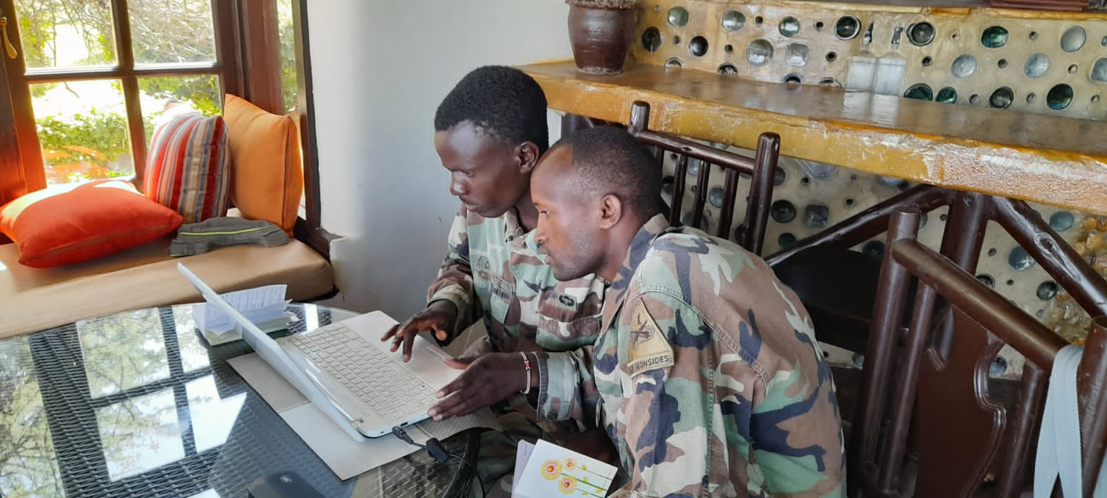
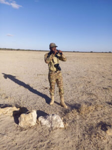
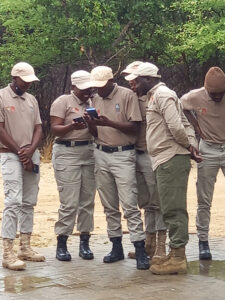
Save Giraffes Now has trained and implemented SMART across key landscapes for giraffe in Kenya and Botswana. This allows these teams to better gather and analyze information on various aspects of conservation, such as anti-poaching efforts, wildlife populations, and habitat conditions.
The use of technology such as SMART is crucial in promoting anti-poaching efforts and safeguarding giraffe populations, but we need your help to ensure that more scout and ranger teams have access to such an important tool.


